- Numbered hybrid GPS map
- Session effort and species totals
- Captioned evidence gallery
- GPS and engagement registers
- Operator and client sign-off
- Verification fingerprint
 FOX GPSFIELD CAPTURESign in
NEWDEGATE 2026Field Days offers are liveFox GPS annual plans, guided onboarding, thermal training and Starlink Mini mounts.
View offers · 2–3 SeptemberAUSTRALIAN VERTEBRATE PEST-CONTROL SOFTWARE
Capture once.
Report with confidence.
Fox GPS Field Capture records the exact field activity behind fox, wild dog, feral cat, kangaroo and other vertebrate pest control—then turns it into clear, client-ready evidence.- OFFLINE-FIRST
- LIVE GPS
- CLIENT PDF
- IPAD · SAMSUNG · DESKTOP
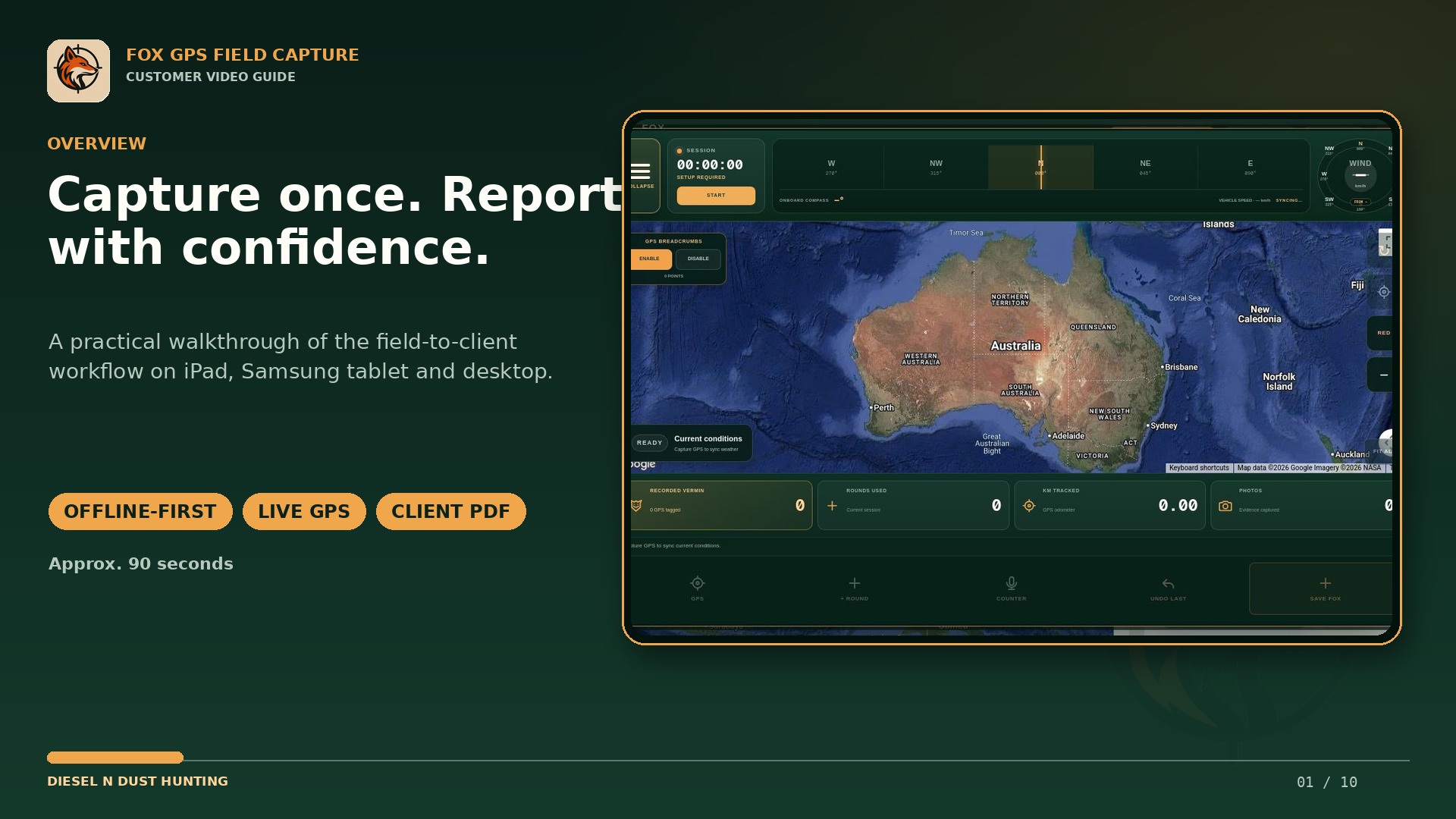
Device-firstRecords survive poor reception
Onboard GPSPrecise field positions
Google hybrid mapEvidence in property context
Australian workflowBuilt for field operators and landholders
THE PROOF CLIENTS CAN USE
The part mapping apps stop before: a professional field report.
Fox GPS carries the work from exact field records into a clear, branded account of results, effort and evidence—without rebuilding the job later in the office.View the sample client reportRecord professional field work and deliver proof.
Use separate operator logins, shared sessions, branded client reports, invoice preparation and auditable field evidence.
Compare operator plansMark the problem and share the exact property target.
Record pest sightings, fox holes and points of interest, then give an authorised shooter access to the same property map.
View the Landholder planFROM FIELD ACTIVITY TO CLIENT EVIDENCE
One practical workflow for the complete control job.
Capture the work at the point it happens, keep it available offline and produce the records clients and landholders need.Offline-first field capture
Save GPS positions, notes and evidence to the device immediately, then back up automatically when reception returns.
Exact animal GPS records
Record fox, wild dog, feral cat, kangaroo and other vertebrate pest positions with accuracy, weather, condition, measurements, photos and field observations.
Permanent KML field layers
Upload KML paddock boundaries once, assign owner colours, set each layer's opacity, and keep them on every farm map online or offline alongside ranked markers, breadcrumbs and engagement events.
Client-ready reporting
Turn selected sessions into a professional green PDF with result totals, evidence, maps, kilometres and operator records.
Landholder target sharing
Let authorised landholders mark sightings, fox holes and points of interest for the assigned shooter or field team.
Teams, invoices and audit history
Use separate logins, retain operator attribution and prepare work-hour and consumables invoices from the same field workflow.
SIMPLE IN THE FIELD
Capture. Protect. Report.
- 01Start the session
Select the client and property, confirm the operator and allow precise location.
- 02Record the work
Save species positions, evidence, rounds, weather, kilometres and field notes as the session progresses.
- 03Deliver the report
End the session, confirm backup and create a branded PDF for the selected client or landholder.
AUSTRALIAN FIELD GUIDES
Choose the workflow you need in the field.
FIELD-BUILT IN WESTERN AUSTRALIA
Fox GPS is a Diesel n Dust Hunting product.
Developed for practical pest-control and remote-area field workflows, Fox GPS connects field capture, landholder targets and professional reporting in one Australian system.
Visit Diesel n Dust HuntingBUILT IN WESTERN AUSTRALIA